NOTICE TO HIKERS
Title of Notice: Big Cypress Prescribed Burn COMPLETED as of 2/29/24
Submitters Name: Jenna Taylor
Submitters Title: Central/South Trail Program Manager
Phone: 772-242-3665
Email: [email protected]
Region (Panhandle, North, Central, South): South
FTA Map No. # 41 & 42
Perm. Change?: NO
Effective Date: Planned for early February 26
Ending Date: COMPLETED 2/29/24
Description/Map: Big Cypress National Preserve is planning a prescribed burn closing the Florida Trail between 10-mile camp and 13-mile camp. Effectively, this will eliminate the ability for thru-hikers to pass through but day hikers may continue outside of these areas. The burn is scheduled to begin on 2/26.
Fire is weather-dependent so these dates may change. The entire Florida Trail within this section will be closed. Hikers found on the trail, will be removed.
Northbound hikers looking to begin their thru-hike, must begin at the I-75 north trailhead. Southbound hikers should look for posted signage at the I-75 south trailhead to determine if it is safe to hike through.
Following the burn, a crew will evaluate trail conditions and post an update. Hikers should expect that blazes may have been burned off as a result of the burn.
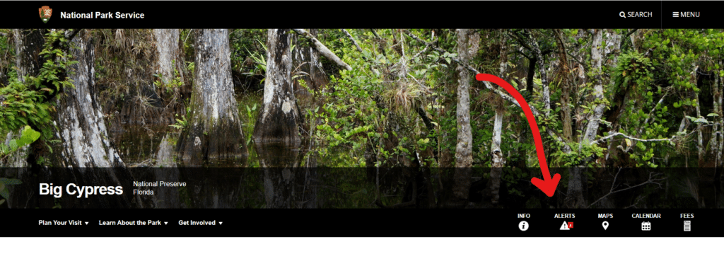
For the most up-to-date information visit: www.nps.gov/bicy/index.htm and check the Alerts tab. You may also call the Preserve at 239-695-2000

