
-

-
 Apparel
Hiker Sunburst Sun Hoodie – Blue (UPF 50+)
$39.99 This product has multiple variants. The options may be chosen on the product page -

-
 Apparel
1,500 Miles of Fun Tank
$29.99 This product has multiple variants. The options may be chosen on the product page -
 Apparel
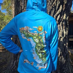
Wild Florida Sun Hoodie (UPF 50+)
$39.99 This product has multiple variants. The options may be chosen on the product page -

-
-
-

-

-

-
-

-

-

-
-

-

-

-

-

-

-

-

-

-

-

-

-

-

-

-

-

-
 Accessories
Bead by Bead on the Florida Trail Necklace
$39.95 This product has multiple variants. The options may be chosen on the product page -
 Apparel
FTA Sock – Retro
$23.99 This product has multiple variants. The options may be chosen on the product page -
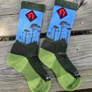 Apparel
FTA Sock – Trees (Blue)
$23.99 This product has multiple variants. The options may be chosen on the product page -
 Apparel
FTA Sock – Trees (Tan)
$23.99 This product has multiple variants. The options may be chosen on the product page -
 Apparel
FTA Sock – Gator
$23.99 This product has multiple variants. The options may be chosen on the product page -

-

-

-

-

-

-

-
 Apparel
Hiker Sunburst Sun Hoodie- Orange (UPF 50+)
$39.99 This product has multiple variants. The options may be chosen on the product page -
 Apparel
FTA Retro Ringer Shirt
$23.99 This product has multiple variants. The options may be chosen on the product page -
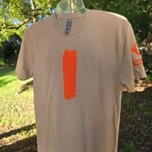 Apparel
Unisex Heather Tan – Blaze T-shirt
$24.99 This product has multiple variants. The options may be chosen on the product page -
 Apparel
Women’s Cancun Blue – Blaze T-shirt
$24.99 This product has multiple variants. The options may be chosen on the product page -
 Apparel
FTA Bear T-Shirt
$23.99 This product has multiple variants. The options may be chosen on the product page -
Sale!
 Apparel
Owl T-Shirt – Burnt Orange
Original price was: $24.99.$18.99Current price is: $18.99. This product has multiple variants. The options may be chosen on the product page -
 Apparel
Classic FT Trail Crew T-shirt
$24.99 This product has multiple variants. The options may be chosen on the product page -
Sale!
 Apparel
IDIDAHIKE shirt
Original price was: $19.99.$13.99Current price is: $13.99. This product has multiple variants. The options may be chosen on the product page -

-
-
-
-

-
-
-

-

-

-

-

-

-
-

-

-
-

-

-
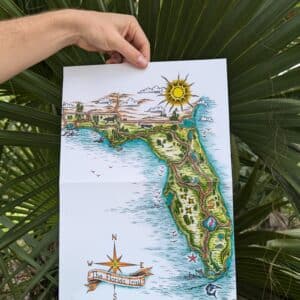
 Guides
Individual Section Maps
$7.49 This product has multiple variants. The options may be chosen on the product page -

-

-
-

-
-

-