WELCOME TO THE

Florida Trail

Connecting people & places since 1966.

The Florida Trail Association

We are the Florida Trail Association, the 501(c)(3) nonprofit responsible for developing, maintaining, protecting, & promoting a network of hiking trails throughout the state, including the unique Florida National Scenic Trail, commonly known as the “Florida Trail,” along with our primary agency partner, the U.S. Forest Service.
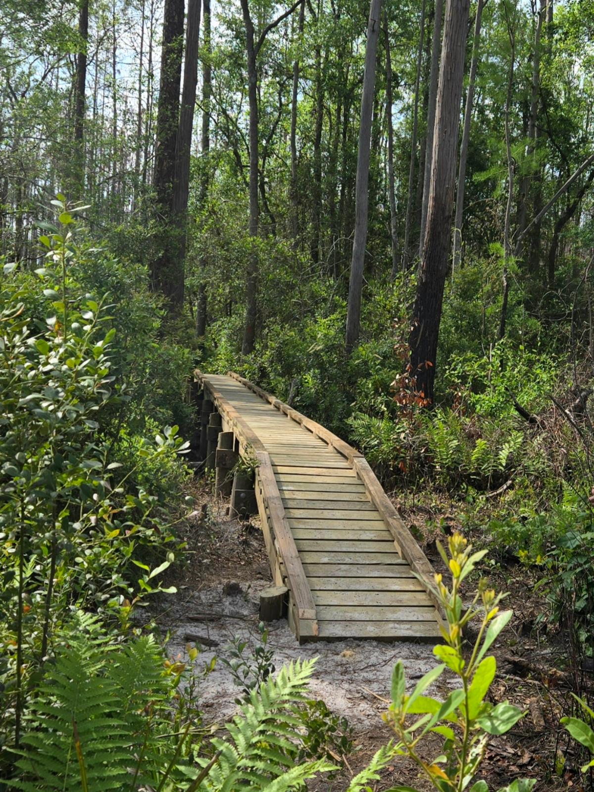
The Florida National Scenic Trail is a 1,500 mile federally designated trail beginning at Big Cypress National Preserve and ending at Gulf Islands National Seashore.
Our vision is to protect the natural, cultural, and historic landscapes along the Florida National Scenic Trail for future generations by providing a continuous trail system built by and for the people of Florida.
We do this by providing volunteer, recreational, and educational opportunities for the diverse population of our state and beyond. 

To get involved, sign up to be a new member, renewing memberdonate or volunteer today! 

People Set Foot on the
Florida Trail in 2024
0
FTA Volunteer Hours
Contributed in 2024
0
Miles Maintained on the
Florida Trail in 2024
0
Dedicated Volunteers
In fiscal year 2024
+ 0

WELCOME TO THE

Volunteering With The Florida
Trail Association

The only thing we love more than trails is volunteers! Volunteers are the heart and soul of the Florida Trail Association. Every year, hundreds of people from Florida and across the nation and even the world contribute thousands of hours to building and maintaining the Florida Trail! Our volunteers make generous contributions of their time and resources to help preserve the trail for the enjoyment of future generations.


Learn More About Volunteering

Portal For Current Volunteers

Stay Updated

Closures and NTH Central

01.14.25 – Map 33 – Prescribed burn in Kicco area on Kissimmee River

On January 14, 2025, the South Florida Water Management District plans to burn up to 420 acres in Osceola County.  The burn unit is in ...
Closures and NTH Panhandle

01.08.2025 – MAP 10-11 – St. Marks NWR, Thompson Trailhead Reroute

Due to logging activity in the area, the section of trail, orange and blue blazed trails included, between the Thompson Trailhead and Wakulla Beach Rd ...
Closures and NTH South

01.14.25 – ** Mile 13 closed due to prescribed burn ** Map 41 & 42 Closure at mile 13 in Big Cypress National Preserve. reroute around mile 13 – see map below from 01/08/2025 to 01/31/2025.

Social and environment conditions permitting, prescribed fire operations will continue tomorrow, 01/14/2025 in the Boot Hill Rx in Big Cypress National Preserve. Operations are expected later this ...